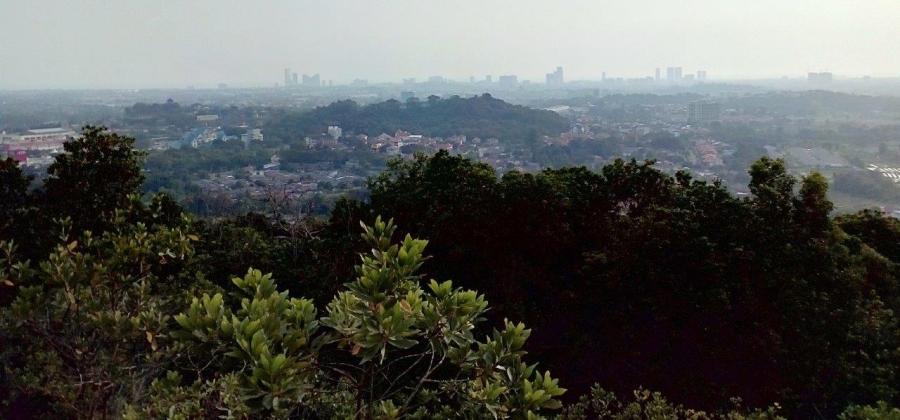
Bukit Beruang in Melaka, better known as Bear Hill to regular hikers, is a favourite hiking spot for locals which offers a panoramic view of the city.
The hill can be accessed from Taman Bunga Raya or Taman Muzaffar Shah. Either way, the loop offers a great workout with plenty of climbing up and down steep slopes.
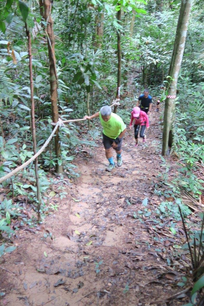
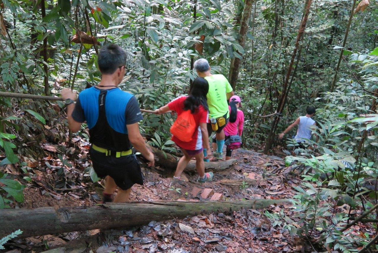
The trails are not boring (read challenging) with multiple obstacles, switchbacks, mixed terrain, steep ascents and unnecessary descents. At a modest height of 116m, Bear Hill offers a choice of 5 trails to the summit, though only one reaches the top. The other four leads you up and up, but never reaches the top before turning downwards again.
From Taman Bunga Raya, a 2.5km tarmac road leads directly to the telecommunications tower at the peak. Five minutes up the road, we detoured right onto the Wild Boar trail that winds gently up and down, around the side of the hill.
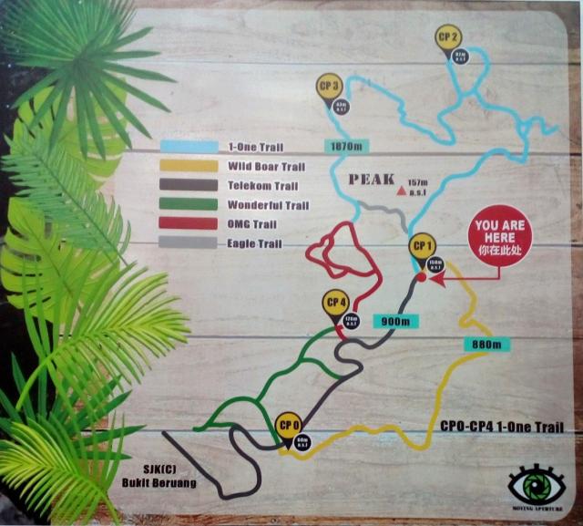
The final uphill brought us to CheckPoint 1 (CP1), where a trail map and emergency contact numbers were prominently displayed on a huge signboard.
The trail to the next checkpoint – CP2, starts by going downhill. At a T- junction, we headed down the right branch to explore the alternative trailhead, the Taman Muzaffar Shah entry point. Midway, our path merged with a mountain bike track, widening into a multi trail peppered with purpose-built ramps for bikers to jump-off.
Curiosity satisfied, we backtracked up the junction and resumed course to CP2 at an incline. After 10 minutes, we arrived at a fork with an arrow pointing left to CP2. A short detour up a storm drain led us to an open ledge, for a bird’s eye view of the residential area below.
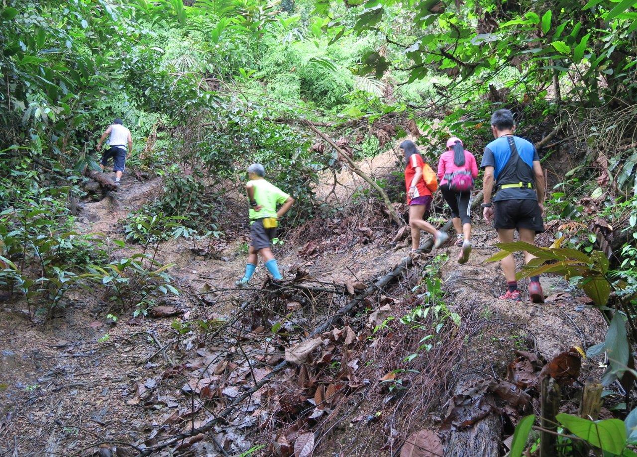
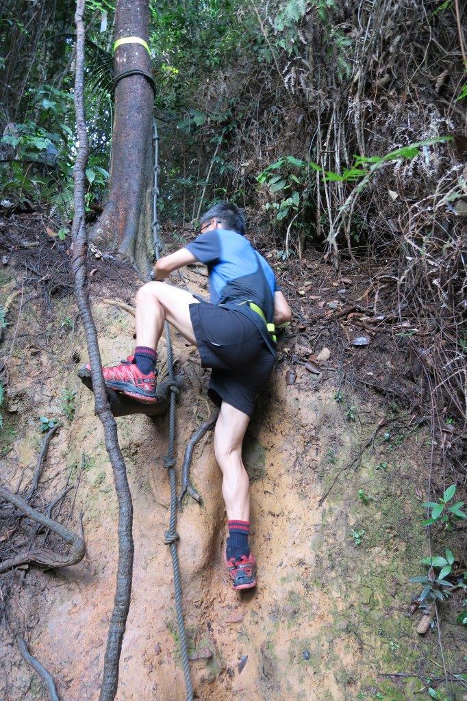
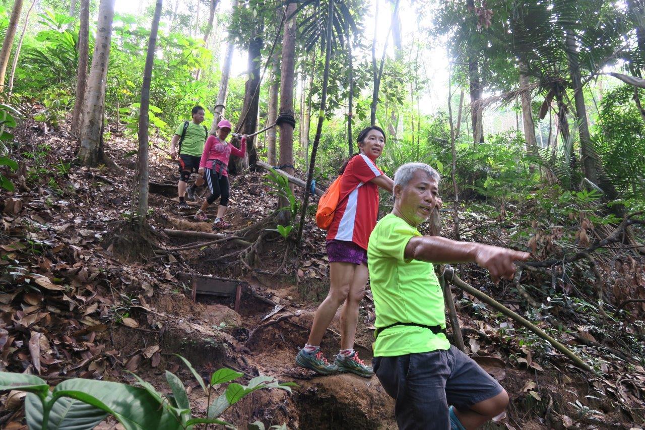
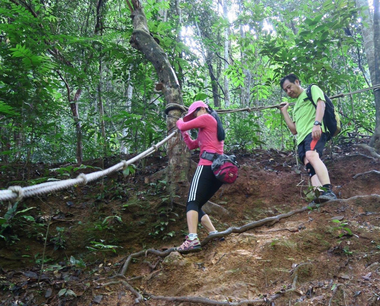
The start of the second hour was also the start of the most challenging and taxing part of the hike. With repeated dips and climbs, we gained and lost elevation quickly, going up but with no peak in sight and heading down again.
While this could be frustrating, I was distracted by the natural ascents and steep descents that feature strongly in this densely forested area, creating a sense of harmony with the environment.
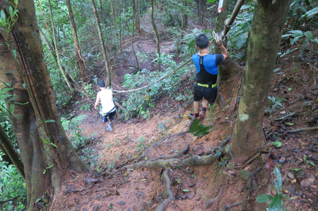
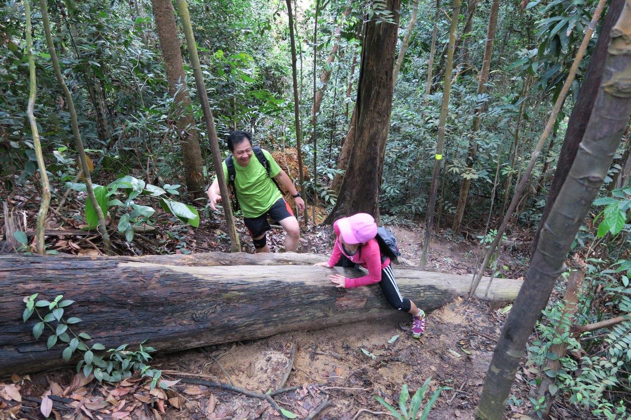
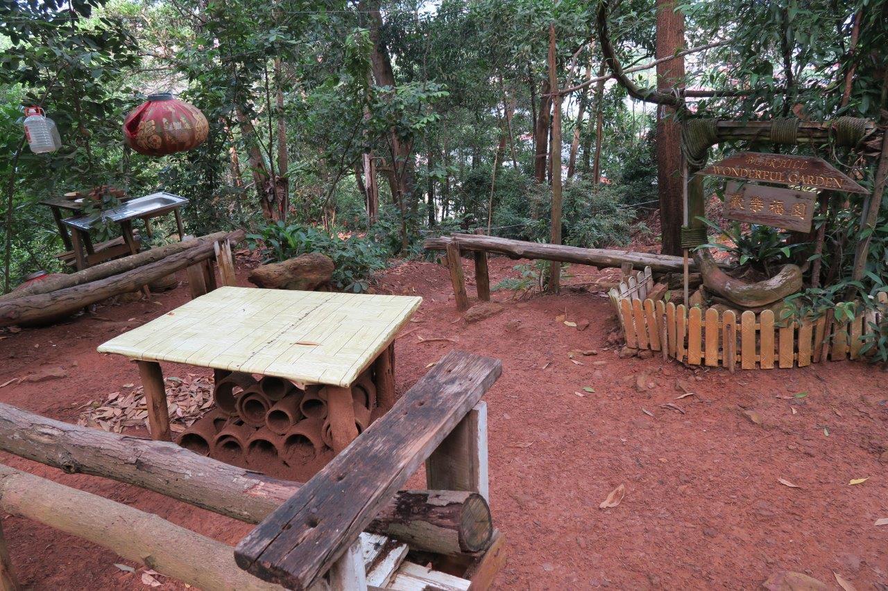
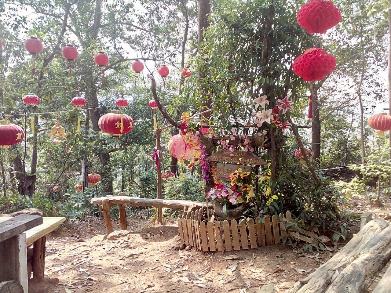
Between CP2 and CP3, branching trails lead to the summit and the tower. From CP3, we headed for Wonderful Garden, taking a trail that first descended sharply, then climbed steeply. Feeling something amiss after ten minutes of circling up and down to seemingly no-where, we realised we had inadvertently entered into the aptly named OMG trail, extending the hike by an additional 35 minutes.
With no choice but to carry on, we correctly ‘bumbled’ our way out to the Wonderful Garden trail and a short while later, enjoyed the rustic charm of the spot.
From here, it was all downhill via a forest trail parallel to the tarmac road. We emerged for the jungle trail a short distance from our starting point.
Bear Hill gets my thumbs up for its natural, well maintained trails that are also litter-free. The hike takes about 2 to 3 hours to complete at an average pace. Shared by hikers and mountain bikers, there are intersecting trails with certain sections fitted with purpose-built ramps. It can be slippery when it rains.
Getting There
Bear Hill Starting Point
Jalan Teratai 3, Taman Bunga Raya, 75450 Melaka
