


Billed as “no ordinary walk in the park”, participants were forewarned of the many challenges such as limited forest cover, soaring heat, barren terrain with lots of rocks, boulders, steep cliffs and sandy beach.
The circumnavigation of Cape Rachado, Port Dickson is only possible at low tide, and has a cut-off time of 5 hours to avoid being closed out by the sea.
The reward – a demanding workout and astounding landscapes.

Route Map & Photos courtesy of Jimmy Chew

We started at 12 noon, from the main entrance of Tanjung Tuan Forest Reserve, heading towards the Lighthouse. A short distance from the Lighthouse, we entered a forest trail on the left, which took us down to Teluk Rubiah beach, site of the Hang Tuah’s footprint and mystical Perigi Rubiah. After examining the famed footprint, we continued left, up another forest trail to the promontory ridge and look out point.


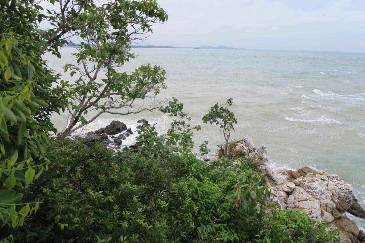
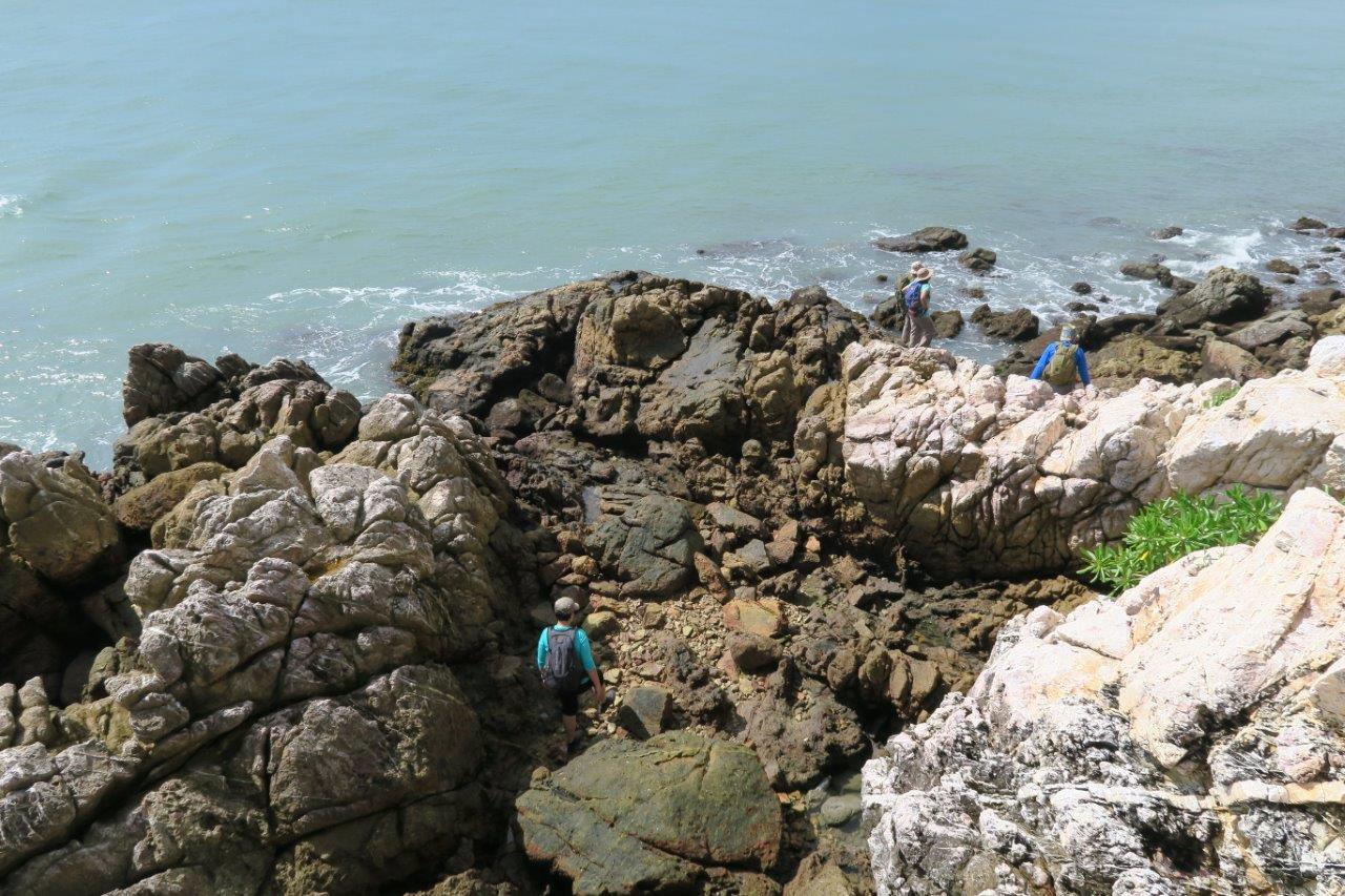
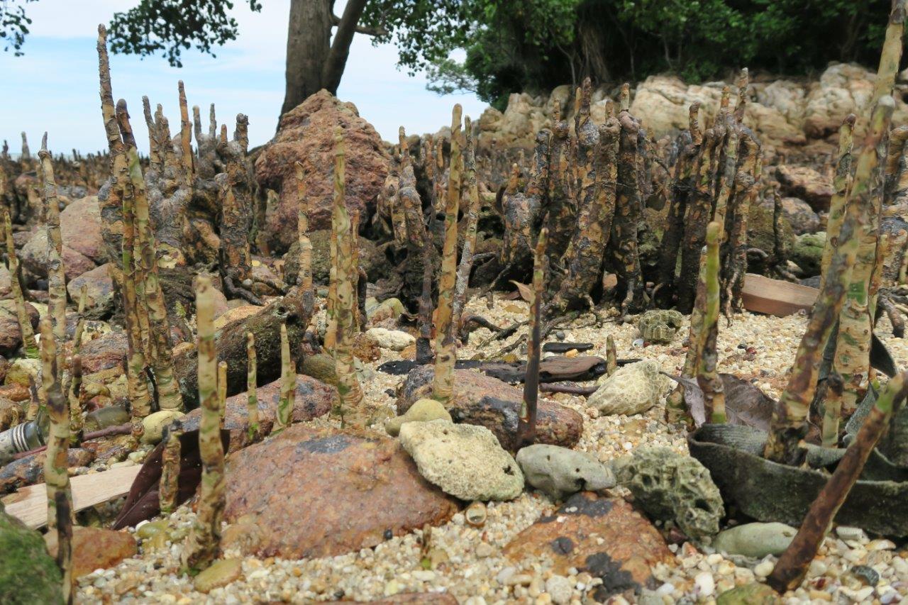
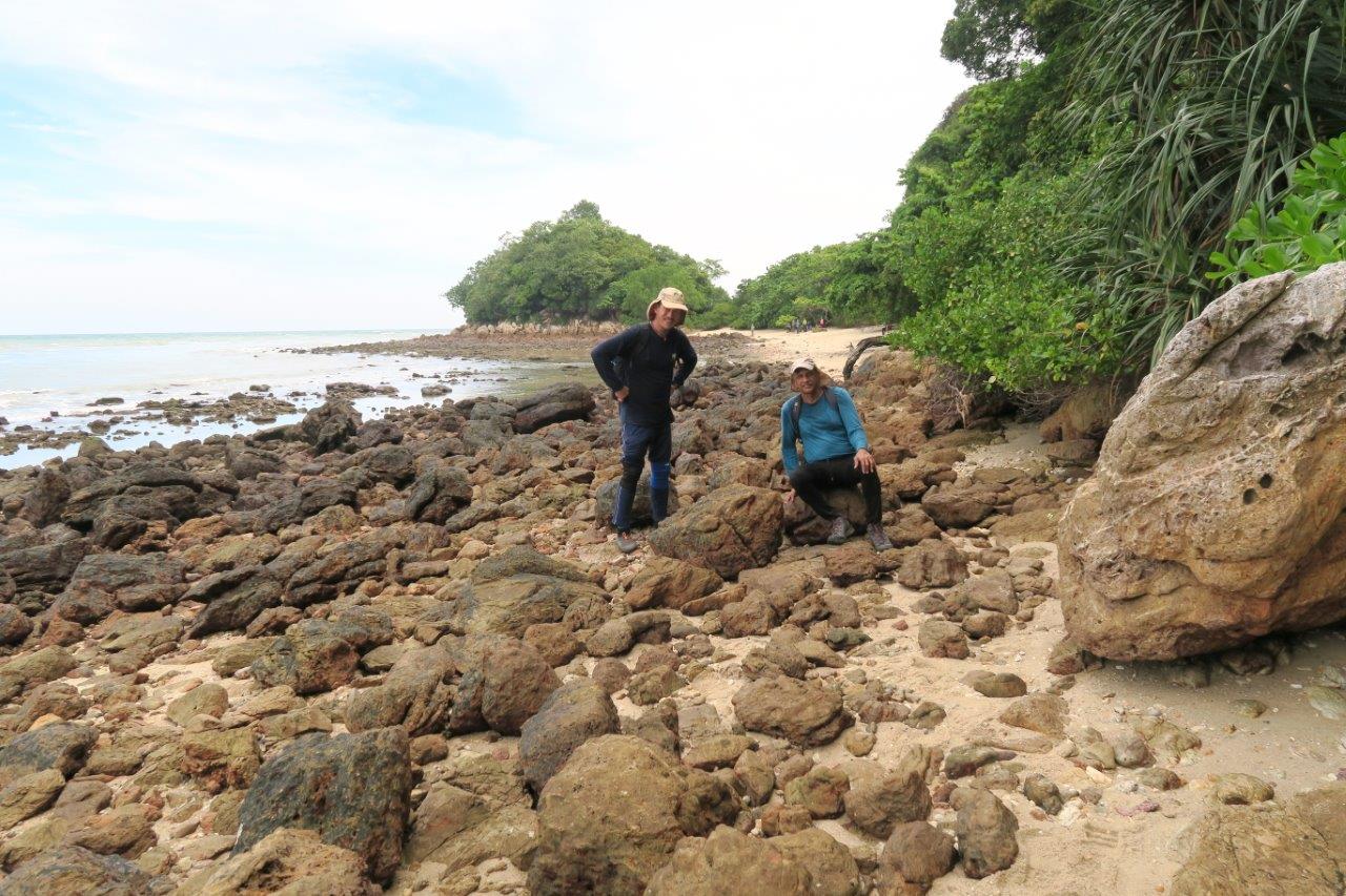
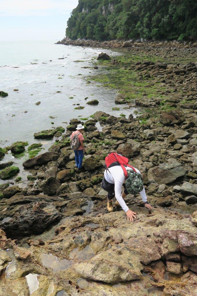
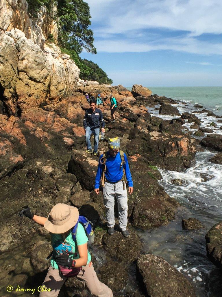
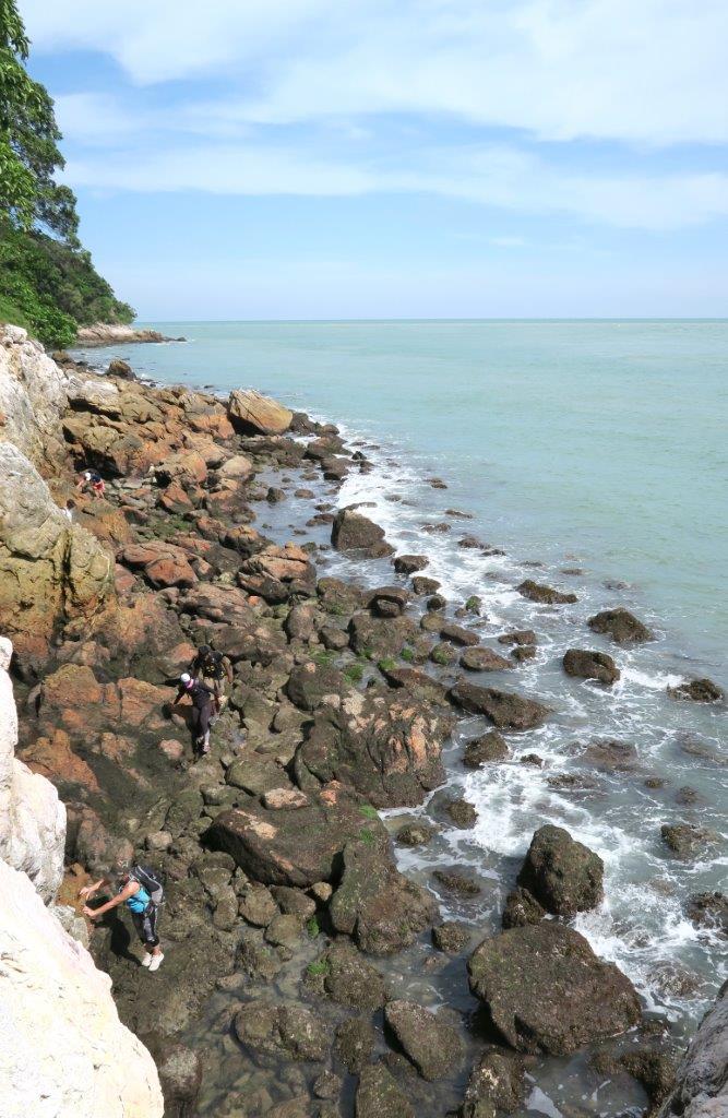
At the eastern end, we descended and emerged onto a shoreline inundated by rocks and boulders. We picked our way, rounding the bend and scrambling up rocks where necessary. Here, we passed boulders either encrusted with sea shells or mineral stained with shades ranging from dark red to brown.
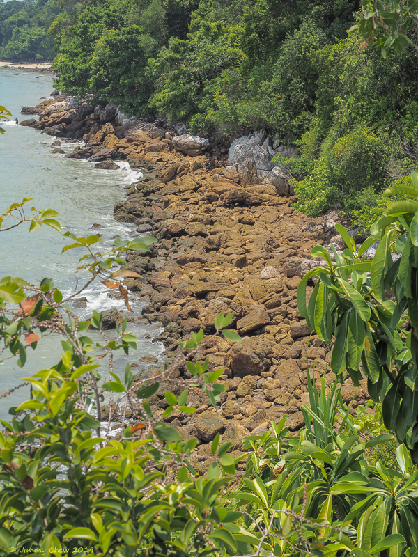


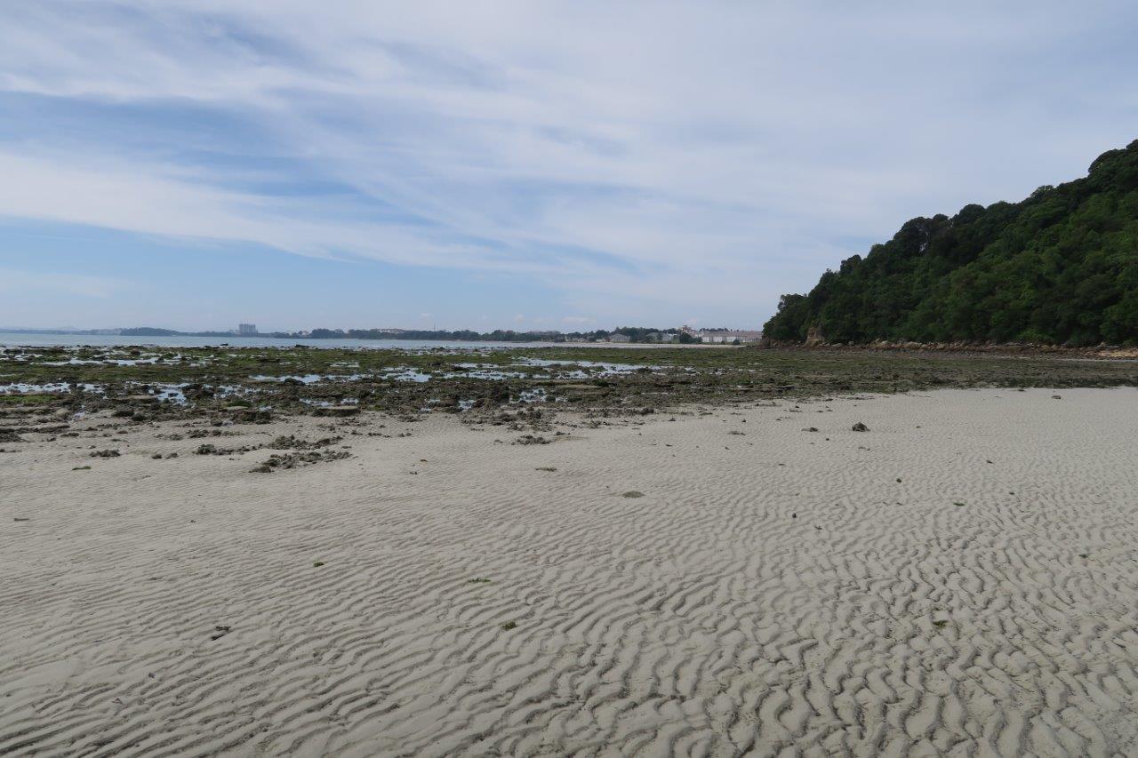
After 30 minutes, we found ourselves walking on sand having reached Treasure Hunter’s beach, which is also accessible from the Lighthouse. This secret beach is a scenic spot with a mangrove patch at the far end. We rounded the corner via a sandy area, continuing along the beach that was soon overrun by rocks and boulders once again.


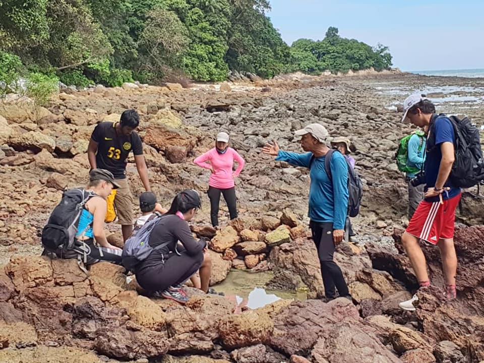
With the tide expected to be at its lowest at 2.38pm, our arrival at the freshwater pool and the cave shortly after 3.00pm was timely. The water had a tinge of saltiness (a daily phenomenon at low tide) and the cave entrance was fully exposed.
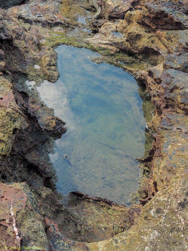

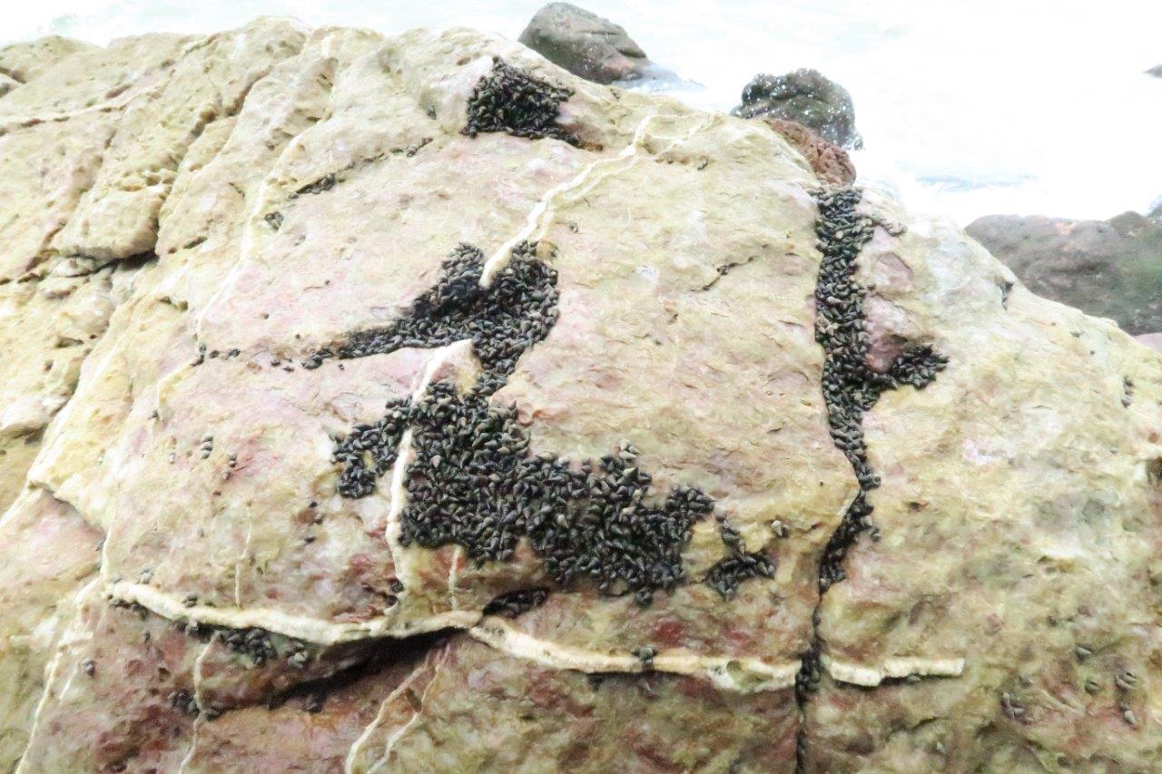
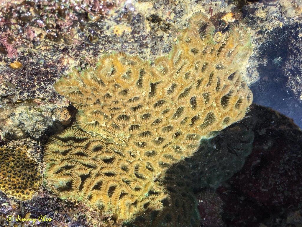
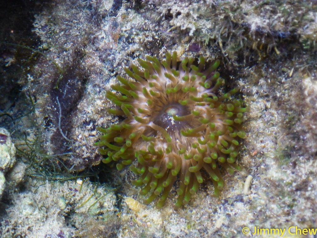
Ducking through the cave and out the other side, we continued our rocky trek along the edge of the sea, rock-hopping small pools inhabited by soft coral and anemone pods.


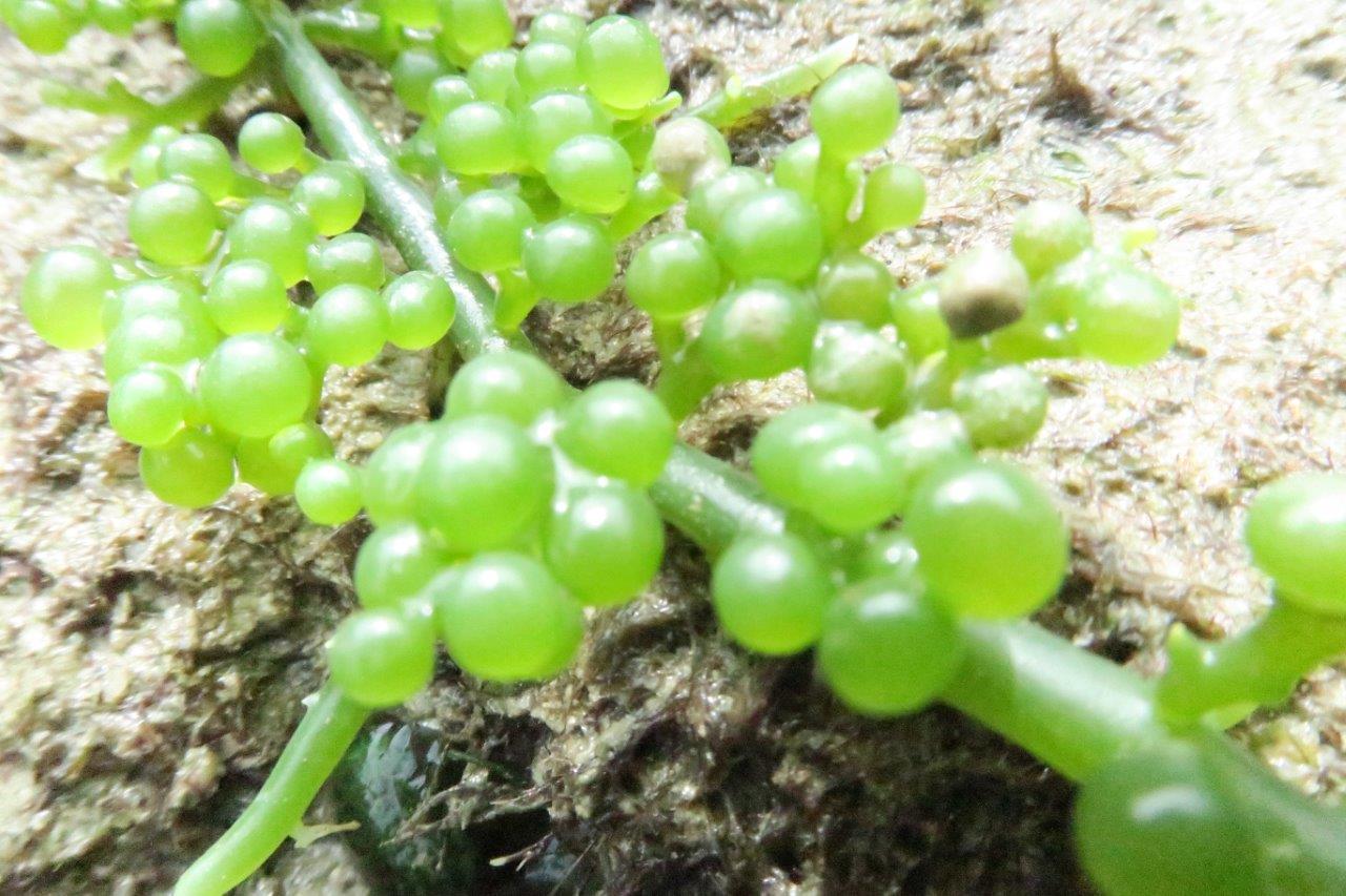
Green algae clinging to rocks turned out to be tiny sea grapes upon closer inspection. I popped a few into my mouth and found the fruit to be decidedly salty.


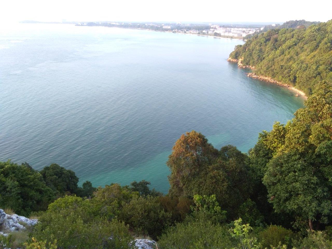
Behind us at the summit of Cape Rachado, the Lighthouse stands tall and sturdy, guiding ships through the narrow straits for the past 157 years. Surrounded by woodland, the lighthouse is the ideal venue for bird watching during the migratory season.

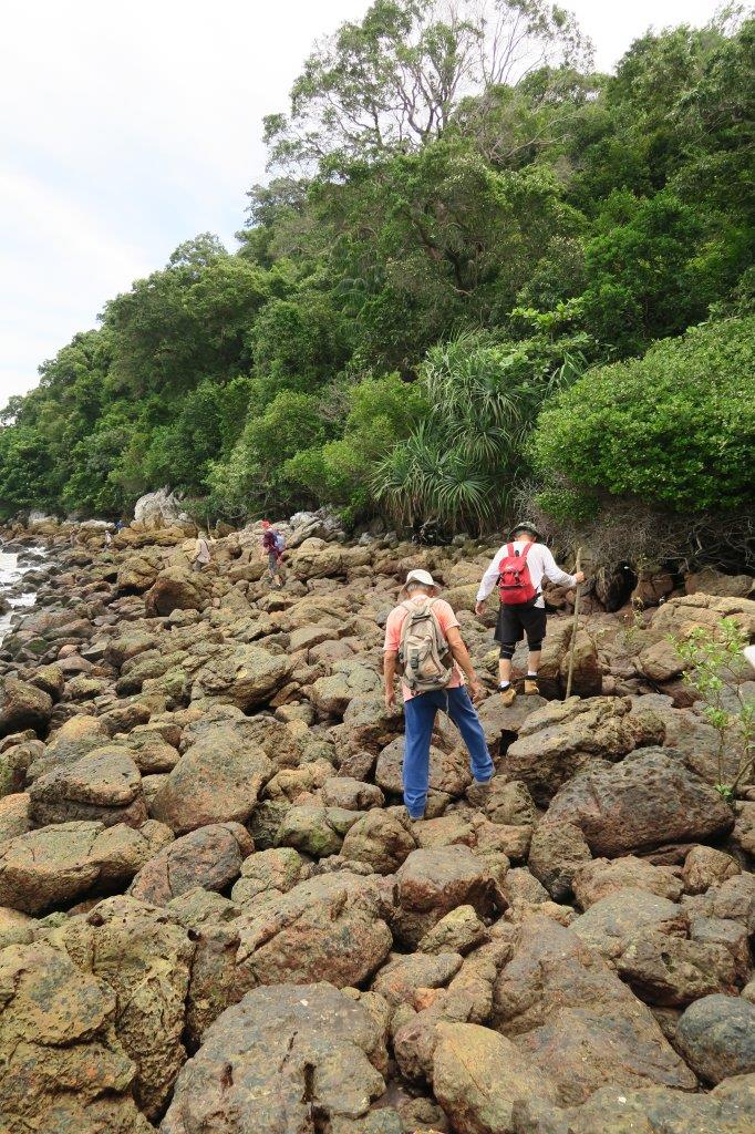
Whenever the sea blocked our dry passage, we would turn inwards and clamber up boulders. With the tide starting to come in, we picked up pace and carried on in this fashion for the next 30 minutes.
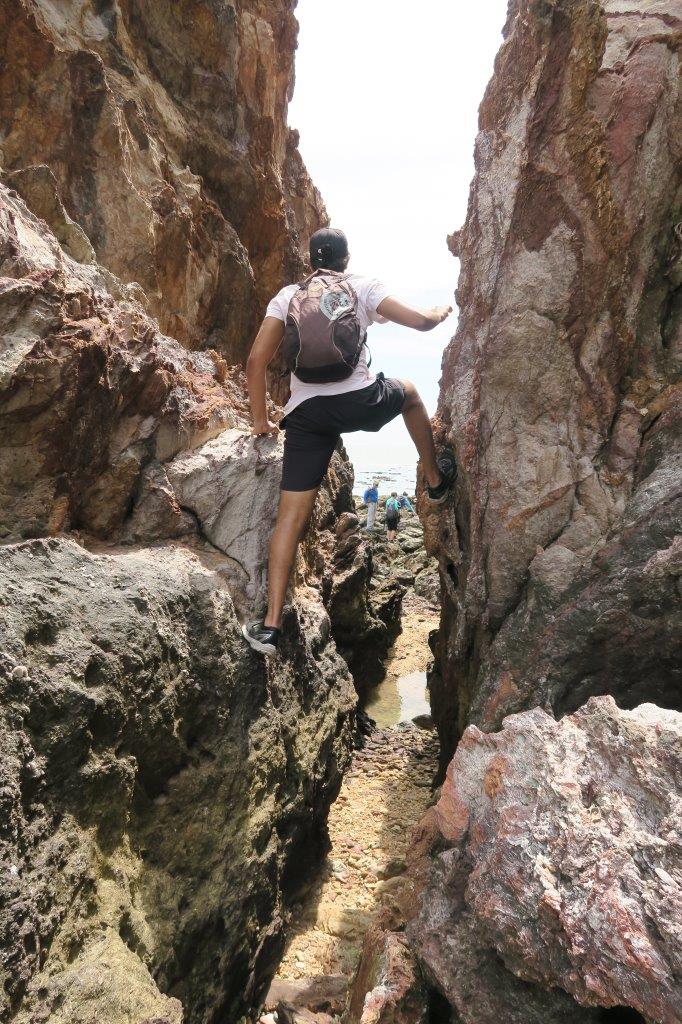
The biggest challenge was still ahead, a big cliff. Looming 20ft high with a path wide enough for one person only, we took turns, going up one by one.


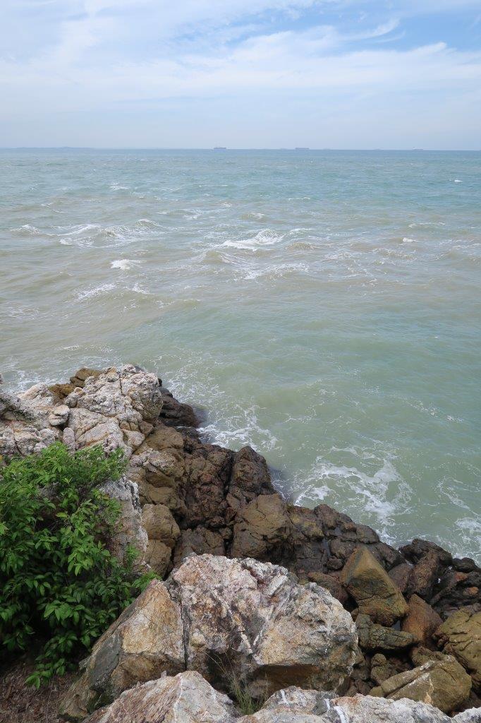
At the top, awesome views of the ragged coastline awaits.


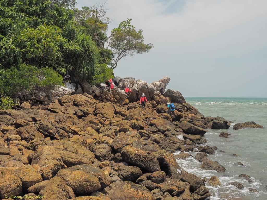
Past the cliff and more rocks, we soon had Monkey Bay in our sight and the steep rocky trail leading up to Batu Putih.


With the sun still blazing hot at 4.30pm, we took the cooler option, getting to the peak of Batu Putih in 20 minutes via the forest trail. Having soaked in the views and more sun, we exited using the lighthouse trail and followed the road downhill back to our starting point. Once again, I was lucky to spot the dusky leaf monkey aka spectacled Langur.

Date : 17 May 2018
Distance : 6.1 km
Duration : 5 – 5.5 hours
